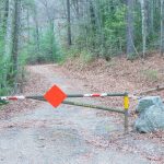
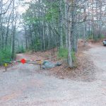
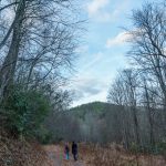
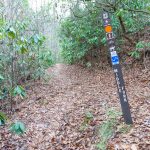
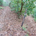
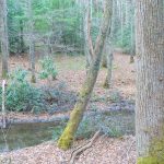
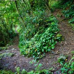
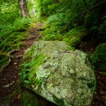
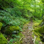
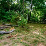
- Start of Hendersonville Reservoir Road
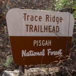
- Trace Ridge Trailhead
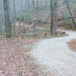
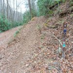
- Hendersonville Reservoir Road Curve
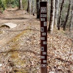
- North Mlls River Trail Start
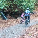
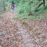
- Riders on Hendersonville Reservoir Road
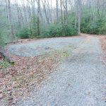
- Hendersonville Reservoir Road Clearing
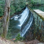
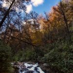
- Hendersonville Reservoir Dam Cascade
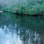
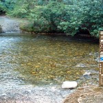
- Hendersonville Reservoir
- Hendersonville Reservoir
- Bikes at Hendersonville Reservoir Dam
- Spencer Branch Trail Start
- Fletcher Creek and Big Creek Bridge
- Fletcher Creek Arm of Hendersonville Reservoir
- Big Creek Trail Bridge
- Fletcher Creek and Hendersonville Reservoir
- Fletcher Creek
- Big Creek Trail Sign
- Bottom of Spencer Branch Trail
- Spencer Branch Trail Crosses Fletcher Creek
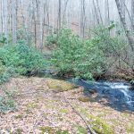
- Fletcher Creek
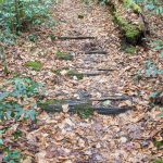
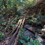
- Old Railroad Ties on Spencer Branch
- Fletcher Creek Cascade
- Spencer Branch Trail Blaze
- Wet Spot on Spencer Branch
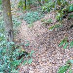
- Spencer Branch Trail Slopeside
- Spencer Branch Slide
- Middle Fork Creek Crossing
- Spencer Branch Old Middle Fork Bridge
- Spencer Branch Trail Ford
- Spencer Branch Trail Sign
- Spencer Branch at Midle Fork Junction
- Old Log Bridge Location on Spencer Branch
- Middle Fork Trail
- Middle Fork Spencer Branch Connector
- Fletcher Creek Valley from Middle Fork Trail
- Middle Fork Trail
- Fletcher Creek Trail from Middle Fork
- Middle Fork Trail Junction
- Fletcher Creek Trail Creek Crossing
- Rider on Fletcher Creek
- Old Log Bridge Location on Spencer Branch
- Fletcher Creek Trail at Spencer Branch Junction
- Spencer Branch from Fletcher Creek
- Fletcher Creek Trail Cove
- Fletcher Creek Trail in Cove
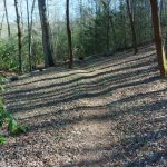
- Straight Section of the Fletcher Creek Trail
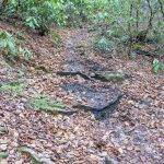
- Rocky Section of the Fletcher Creek Trail
- Straight Section of the Fletcher Creek Trail
- Rocky Section of the Fletcher Creek Trail
- Fletcher Creek Trail Banked Turn
- Fletcher Creek Trail Turn
- Start of Fletcher Creek Trail
- Start of Fletcher Creek Trail
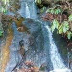
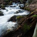
- Cascade beside Hendersonville Reservoir Road
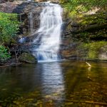
- Waterfall on Billy Branch
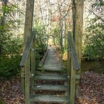
- Bridge over Pilot Cove Creek
- Flat Section of Trail in PIlot Cove
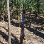
- Sign at the Top of the Pilot Cove Loop Trail
- Greenbrier
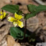
- Halberdleaf Yellow Violet
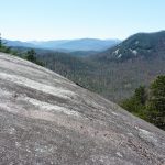
- View from Slate Rock
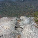
- A series of shallow potholes marks an erosion channel in solid rock on Slate Rock Ridge, with a view of Pilot Rock to the west in the background.
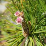
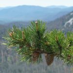
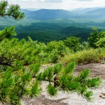
- New Growth on Pines
- New Growth on Pines
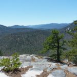
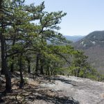
- View Southwest from Slate Rock Ridge
- View from Slate Rock Ridge
- View of Pilot Rock
- Twisted Mountain Laurel Tunnel
- Tributary of Thompson Creek
- Thompson Creek Trail Crossing
- Lower Trace Ridge Trail Reroute
- Mossy Rhododendron Branch
- North Mills River Pipeline
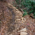
- Lower Trace Ridge Rock Wall
- Lower Trace Ridge Rerouted Section
- Lower Trace Ridge trail on an old road.
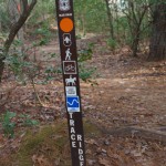
- Lower Trace Ridge Sign
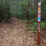
- Trace Ridge Trailhead Sign
- North Mills River Trail through Clearing
- Dead and Living Hemlocks
- Rounded Hill on Poundingmill
- Squirrel Gap Trail Feature
- Mullinax Trail Re-Route
- Mullinax Trail Sign
- Shortleaf Pine
- Shot-up Horse Sign
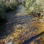
- South MIlls River
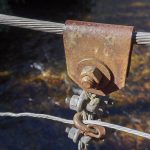
- Suspension Bridge Hardware
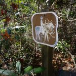
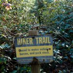
- Poundingmill Hiker Trail Sign
- Poundingmill Creek Crossing
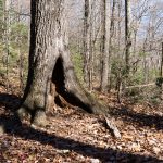
- Hollow Tree
- Squirrel Gap Sidehill
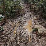
- Boot-eating Mudholes
- Laurel Mountain Switchback
- Rock Beside the Trail
- Mosy Laurel Mountain Trail
- Campsite in Turkey Spring Gap
- Pilot Rock Trail
- Moss and Laurels
- Orange Blazed
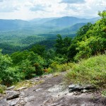
- View of Pink Beds
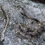
- Rattlesnake Skin
- View of Pink Beds
- Laurel Tunnel
- Twisted Laurel
- Galax beside the Laurel Mountain Trail
- Darla Taking a Break
- Early September Chestnut
- Bad Fork Trail and Stream
- Bad Fork Trail Straight Section
- Bad Fork Trail Steep Section
- Shortleaf Pine
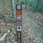
- Bad Fork Trail Sign
- Triple Log Bridge
- Blaze and Bridge
- Free to Run
- Sign at the Start of the Turkey Pen Gap Trail
- Sign at the Start of the Vineyard Gap Trail
- Turkeypen Trailhead Signs
- South Mills River Trail Foot Bridge Split
- Red Oak Leaves beside the South Mills River Trail
- Fall Colors Reflect in the Beaver Pond
- Small Stream Crossing in the South Mills River Trail
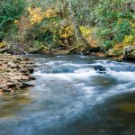
- Grass and Rocks on the South Mills River
- Rocky Section of the South Mills River Trail
- Rhododendron Tunnel on the South Mills River trail
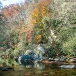
- Fall Color on the South Mills River
- Low Fall Color on the South Mills River Trail
- South Mills River Trail Fall Leaves
- Suspension Bridge
- Fall Color on the South Mills River
- Sign at the Bottom of the Wagon Road Gap Trail
- The Bottomlands
- Sketchy Old Log Bridge on the Wagon Road Gap Trail
- Cove Forest along the Wagon Road Gap Trail
- Sign at the Top of the Wagon Road Gap Trail
- Red Forest above Hill Cane
- Green Rhodododendron on the Turkey Pen Gap Trail
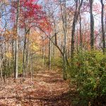
- Colorful Forest on the Turkey Pen Gap Trail
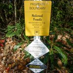
- Boundary Signs on the Turkey Pen Gap Trail
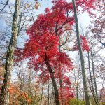
- Blazing Red Sourwood
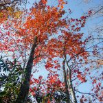
- Orange Maples
- Red Sourwood
- Orange Trees on the Turkey Pen Gap Trail
- Big Creek Trail Steep Area
- Crossing Big Creek
- Crossing Big Creek
- Trees over Big Creek
- Leaning Trees on the Big Creek Trail
- High Falls – South Mills River
- Wipeout on Big Creek
- Riding through Field on Fletcher Creek
- Crossing Fletcher Creek
- Suspension Bridge over the South Mills River
- High Falls Sky View

