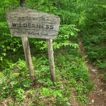
Our Comments on the Pisgah and Nantahala Wilderness Evaluations
Below are the comments I am submitting to the National Forests in NC regarding their Wilderness Inventory Evaluation process, which is underway as a part of the Nantahala and Pisgah National Forests Plan Revision. They’re looking for very specific, particularly … Continued