
I’d heard about some new trails on a Buncombe County property that I wanted to check out. So January 4, 2015, when I got the opportunity, I headed out there with the family. What we found was a nice little trail network perfect for exercise trips when you don’t have a lot of time.

Or maybe it’s a good place for working off a big meal at 12 Bones BBQ, which is just on the other side of the mountain from the trails. Or maybe you could head to 12 Bones after getting yourself nice and hungry while hiking! Either way, BBQ would be involved so that’d be real good.
But I digress – back to the trails.
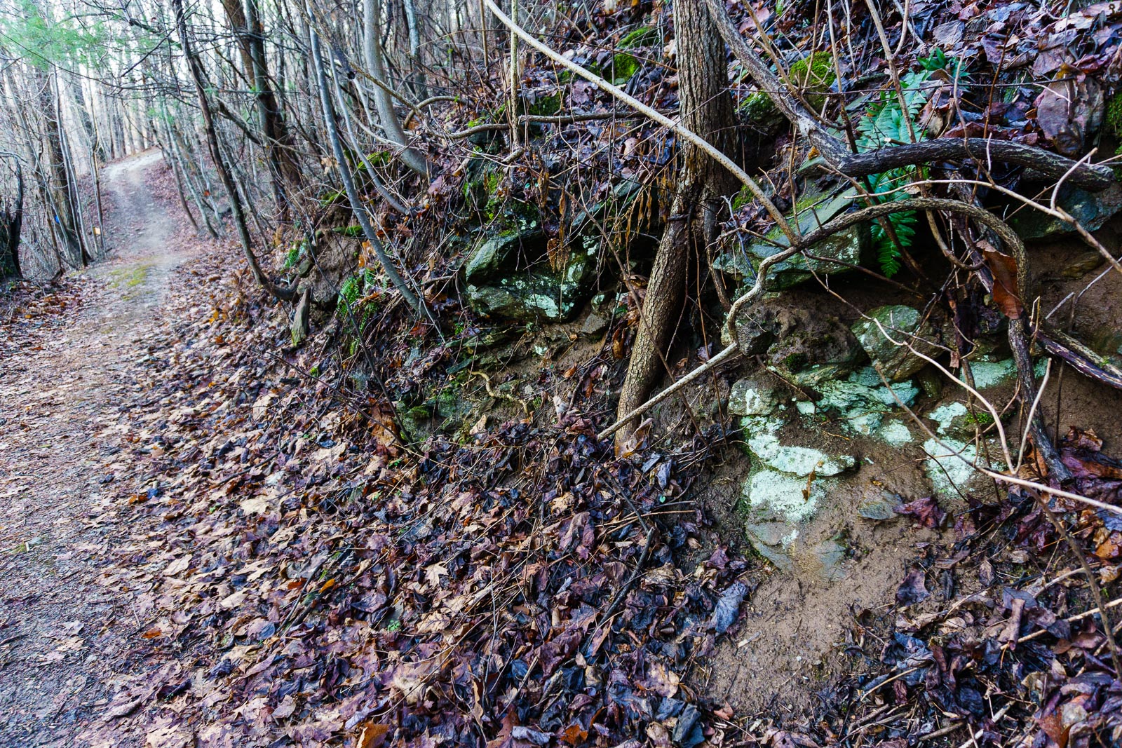
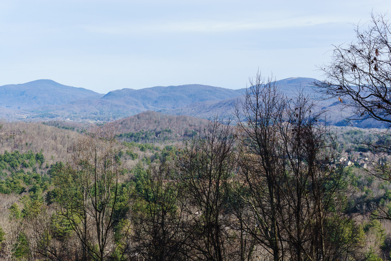
Although I don’t think I’d suggest driving hours from out of town just to hike there, the trails are a nice addition to the inventory in our area, and offer a few small treats such as some views, a small “play meadow”, and a splashing (seasonal) stream. The forest is pretty heavily choked with invasives in places, but looks like it could indeed sport some natural beauty in others. It was kind of gray in the middle of winter, but spring wildflowers (including trillium) are reported to be beautiful on this southeastern slope.
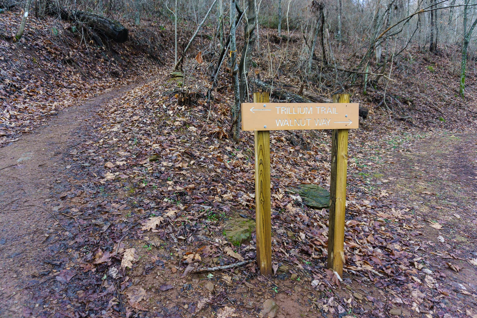
The trails are at the back of the Royal Pines residential area on Brown Mountain, near Skyland and Lake Julian, south of Asheville. There is a parking area with plenty of spaces of of Rhododendron Drive. They wind around on an old network of roads – probably intended for a residential development at one time, if I had to guess. But for whatever reason – perhaps the high-voltage power lines that were run down the center of the area? – this little cove was never developed, making for a nice outdoor haven in the South Asheville suburbs.
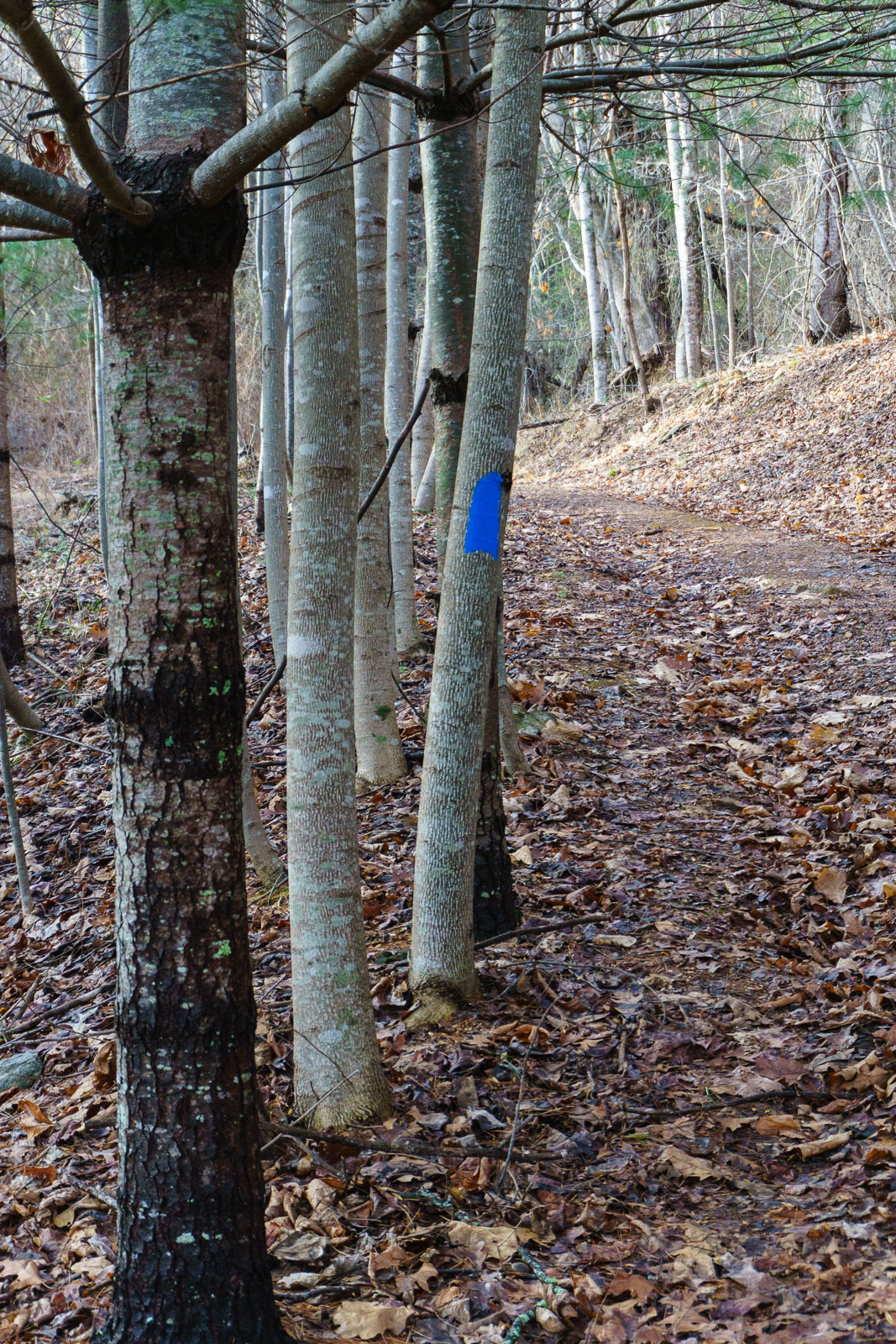
The trails are a bit steep in places, and can get very muddy after rain (which it did the night before we visited). But overall, the trails are in pretty good shape and even my 5 year old was able to explore every one of them with us in one go. Near the top, and under the power lines, there are some views out across rural Buncombe County.
We’ll be posting the full details on HikeWNC shortly, but for the time being, here’s a GPS track of our route, which includes all the trails. The address for the parking area is 194 Rhododendron Drive. The County also publishes a map which you might want to print out or download to your phone. It’s posted here at the Friends of Collier Cove group’s page on Facebook.
[map style=”width: 100%; height: 400px;” gpx=”/wp-content/uploads/2015/01/2015-01-04-Collier-Cove-Nature-Preserve.gpx”]If you’re in the area and don’t have a lot of time, but still looking for a decent hike, give it a look!
Wayne Collier, son of RaeAnn Collier
The trails in Collier Cove were built by RaeAnn Collier for the express purpose of turning the property, which she owned, into a park for her family. She funded the construction of the trails by selling off lumber on the property. The lumber company that harvested the trees built out the trails, which RaeAnn Collier laid out, in exchange for trees which they harvested from the property.