Notice 4/22/15: A large wildfire has spread through the area described by this hike, and the trails are currently closed. We’ll update when they re-open, and hopefully go back for a visit to see what it looks like after it’s out.
Update 5/2/15: All trails in the Silver Mine area are open again as of today. We hope to be able to go back soon and check out what changes the fire made since our last visit in January.
Wanting to take a break from ski season, we decided to hit the trails back at the end of January. But not wanting to trudge through deep piles of wet white stuff either, we needed to find a spot that wouldn’t be buried in snow. A major storm had dumped several feet of it on the mountains about a week prior, and much of that was still hanging around.
So, looking at the snowfall maps, it appeared that the upper French Broad River area – near Hot Springs, NC – had been spared the brunt of the storm. There was a small segment of trail that I still hadn’t hiked near there, which I was hoping might be the ticket to a new “Best Hike” for our sites. It looked like I could hook it up into a moderate difficulty loop. So, with the family piled in the car, that’s where we headed. Luckily, the snow did appear to thin out as we neared the trailhead and – having warmed up considerably – what was left was melting fast.
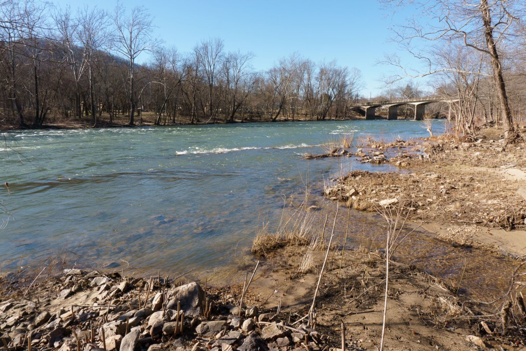
We started out at the Silvermine trailhead, going up the Appalachian Trail beside the French Broad River. It was a beautiful, warm, sunny, windy mid-winter day and the river was flowing nicely and surprisingly clear. I stopped to get this shot of the spot where Silver Mine Branch, which we would encounter again later on, flows into the larger river.
The trail passed a bluff, a USGS river gauging station, and then started through a series of switchbacks as it climbed up Lover’s Leap Ridge. The grade is never too steep, and the trail is well-built, so even my 6 year old didn’t have too much trouble with it. About halfway up, though, we heard a knocking and crashing sound followed by what sounded like something racing through the leaves. Downhill, directly toward us. My wife and daughter took off running back down the trail – wisely – while I stood there transfixed and watch as this stone shot out of the trees to a stop right in the middle of the trail just ahead of me!
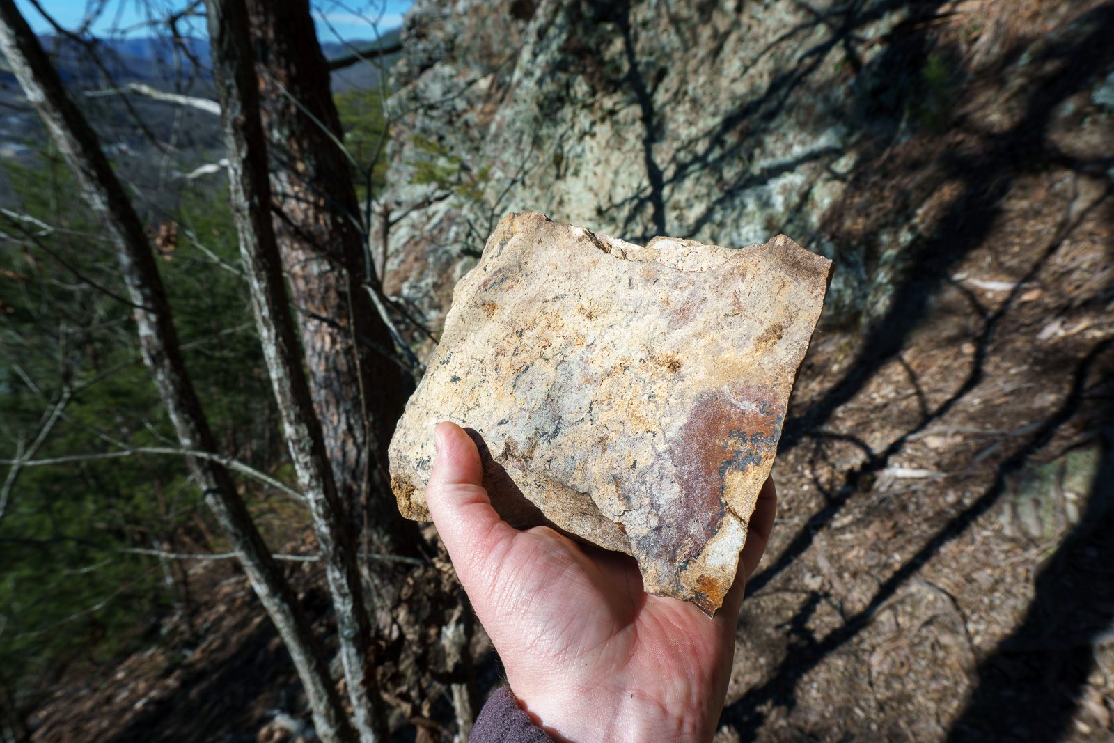
Obviously, the freeze-thaw action was taking its toll on the loose rocks on the bluff up above, and I could now see where more of them – some much bigger than the one in that picture, too – were piled against the uphill sides of the trees beside the trail. Needless to say, we scooted on through there in a hurry to get past the crumbling action, ever mindful of the possibility of more rockfall happening up the slope. Thankfully none did.
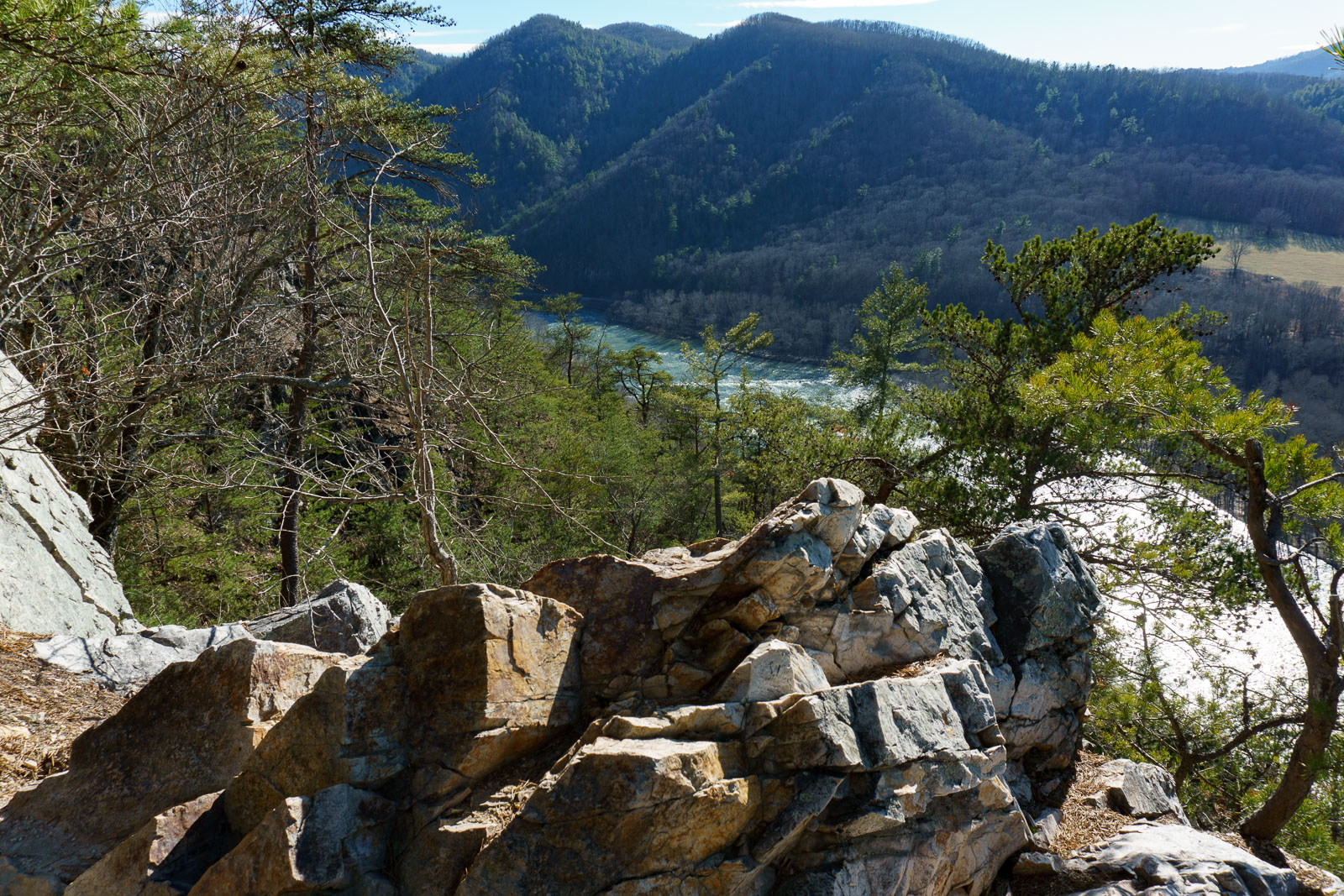
That brought us quickly to the main event there on Lover’s Leap Ridge: the overlooks with excellent views back down to the French Broad River and the town of Hot Springs. It wasn’t the most photogenic day for the view, with the hazy air and harsh afternoon sunlight, but I couldn’t help snapping some pictures while the girls enjoyed a break and a snack.
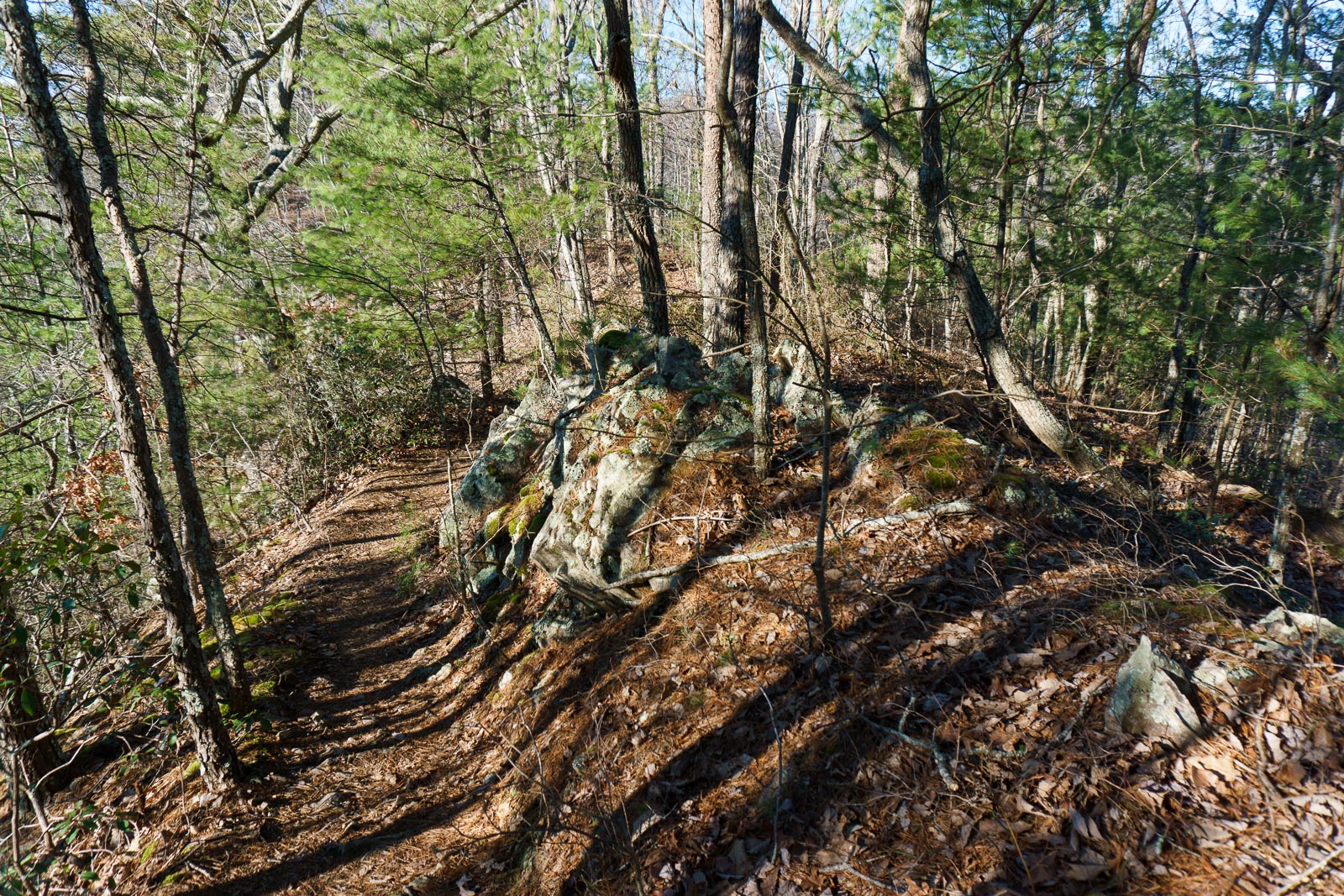
Shortly beyond the viewpoints, the Appalachian Trail reaches the junction with the Lover’s Leap trail, which makes its way back down to the Silvermine trailhead for a nice, but short, 1.6 mile hike. We had a longer loop in mind, though, so we continued on the Appalachian Trail for its procession up the spine of the ridge. At one point, the ridge narrows and sports this knife-like rock outcropping, with steep slopes dropping away on either side.
Pockets of snow began to appear as we climbed, more of course on the north slope of the ridge. But that’s where the Appalachian Trail goes after cresting the top of the ridge and starting its descent toward Pump gap. I was a bit concerned that we might encounter some deeper snow and difficult going, but luckily the worst we found were a few stretches that were still covered with packed snow, interspersed with longer bare areas. We could feel the starkly colder air draining down the coves while the ridges remained warm and sunny.
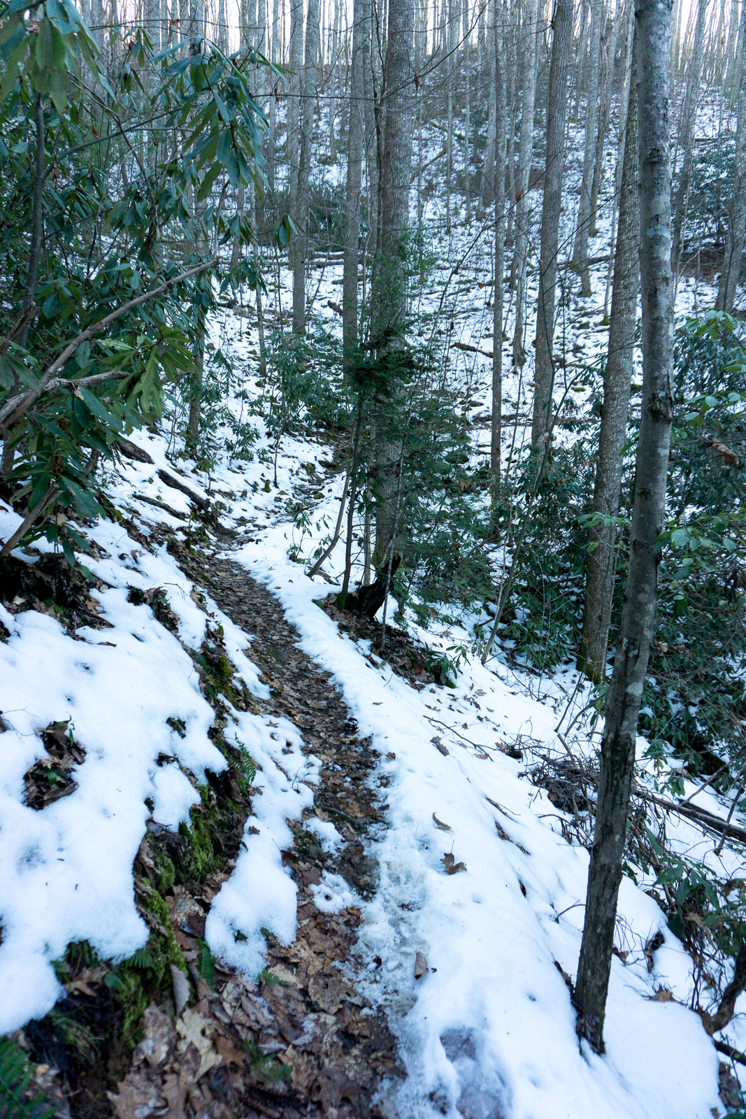
The trail intersects the Pump Gap Loop trail in – wait for it – Pump Gap! The gap is purportedly named for a former water pump which delivered water to the now-abandoned town of Runion, NC, down the mountain to the right of the Appalachian Trail. For our hike, we turned left, into a grove of hemlock trees which have been saved (for now) from the Hemlock Wooly Adelgid.
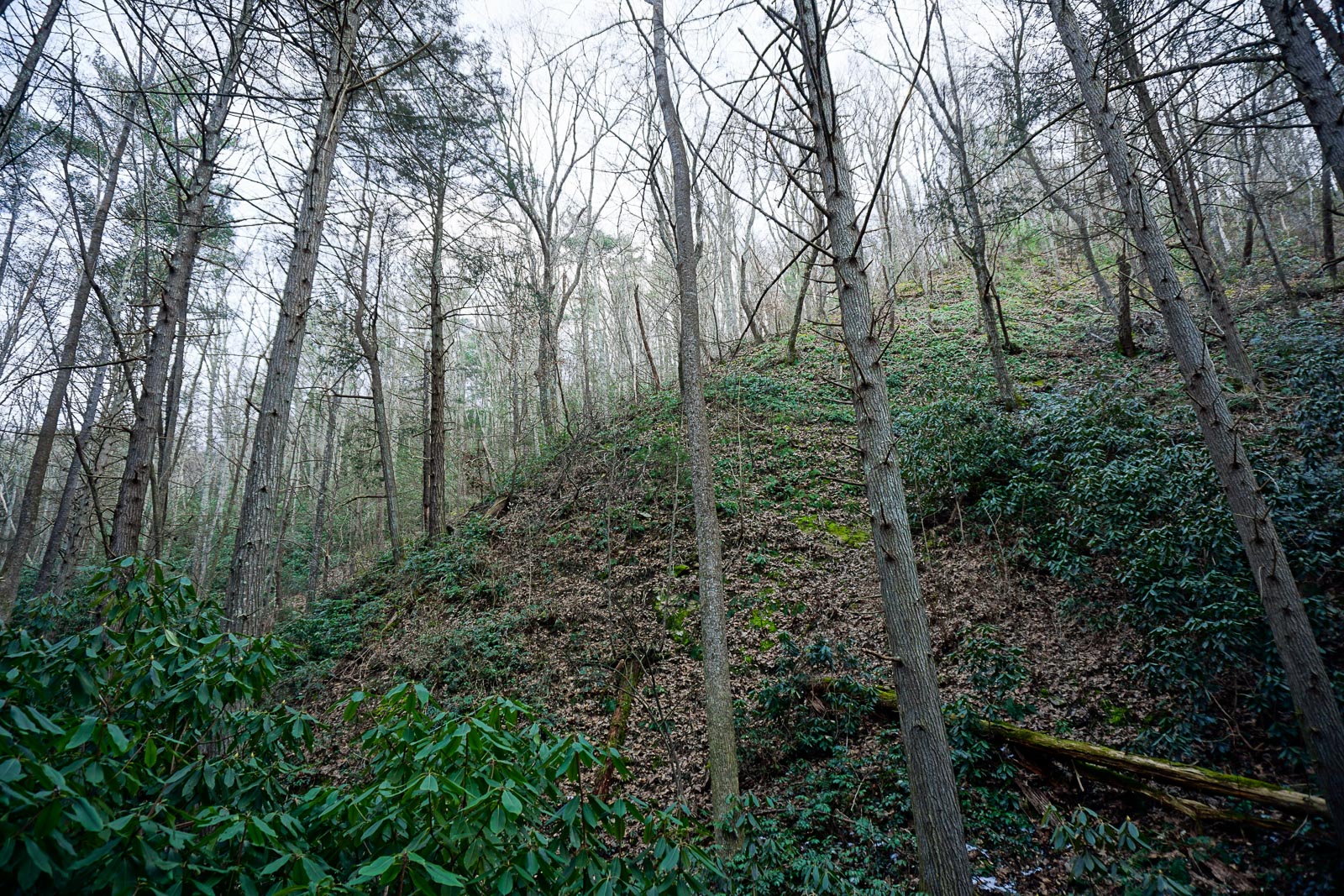
That stretch of the Pump Gap Loop trail – which was the part I hadn’t hiked yet – descends rapidly and almost immediately passes the headwaters of a tributary stream, which gains steam as you descend. The valley got very deep and steep slopes towered on either side. Trees towered overhead, too, as they strain to grow upwards to find some sunlight. In very short order, after a particularly steep and slick section of trail and a side stream crossing, we reached the other side of the Pump Gap Loop trail – a segment I had already hiked before. We turned left onto the out-and-back portion of the Pump Gap Loop trail, which is shaped more like a lollipop or lasso than a pure loop.
As we neared the Silvermine campground, the stream got larger and so did the trees. A mix of hemlocks, hardwoods, and white pines stretch as tall as they can in that cove. The stream has carved a deep notch into the mountainside and nearly vertical slopes rise on both sides in some places. Unfortunately, the stream has also swallowed the trail in a few spots. Luckily, these are short, and though they were a tad trickier to navigate than the intact sections of trail, it wasn’t anything my 6-year old couldn’t handle.
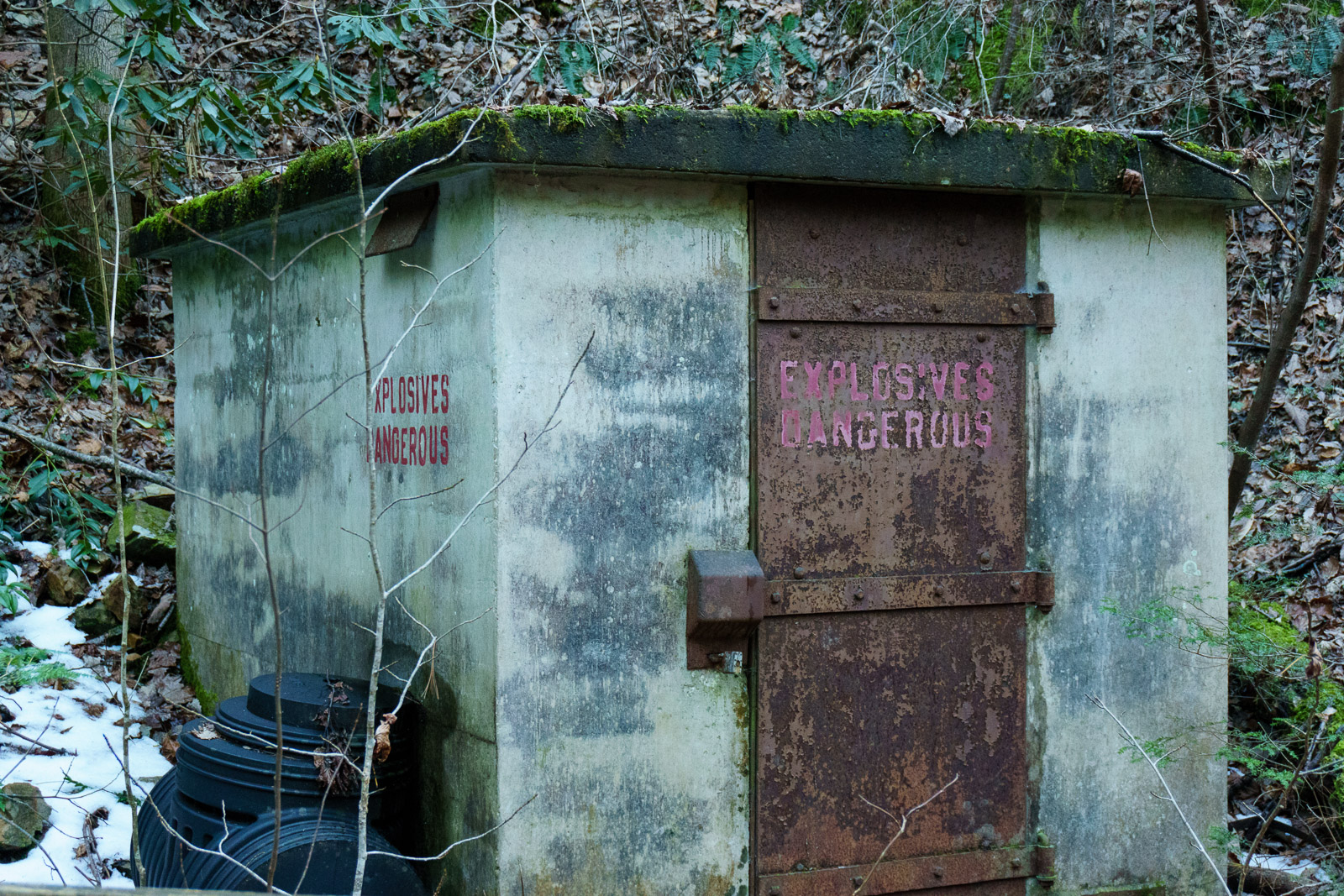
We managed to make good time for a change and found ourselves closing in on the parking area with plenty of light, even on this short winter day. The trail passes a couple of these old explosives sheds before making an appearance at the campground I’m not sure if these are used anymore – I suspect not – but the concrete bunker construction style, containers piled up against the side, and warning labels with their to-the-point message relegated us to observing from a distance.
After a short climb around the campground, back to the other end of the Lover’s Leap trail, the Pump Gap Loop makes its final descent down into the Silvermine parking area to complete the hike. I’ve been wanting to try this loop for a while, and I was hopeful that it would strike a good balance between scenery, distance, and difficulty to earn it a spot as a Best Hike on our site. I’m happy to report that it has done just that and I’ll be writing that up soon!
[map style=”width: 100%; height: 400px;” gpx=”/wp-content/uploads/2016/01/2016-01-30-Lovers-Leap-Loop.gpx”]
Leave a Reply